-
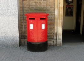
Double Pillarbox, Kettering
-
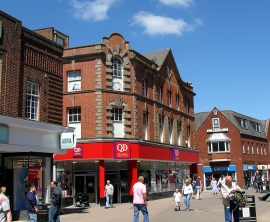
Former Woolworths store, Kettering
Double Pillarbox, Kettering
Former Woolworths store, Kettering
Other current and historical names
Location and coordinates are for the approximate centre of Kettering within this administrative area. Geographic features and populated places may cross administrative borders.