-
B1437 London Road
-
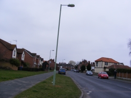
B1437 High Street, Kessingland
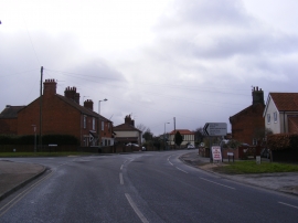
B1437 London Road
B1437 High Street, Kessingland
Other current and historical names
Location and coordinates are for the approximate centre of Kessingland within this administrative area. Geographic features and populated places may cross administrative borders.