-
Track off to the left
-
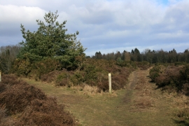
Path junction on Gloucestershire Way
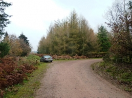
Track off to the left
Path junction on Gloucestershire Way
Location and coordinates are for the approximate centre of Kensleyridge Inclosure within this administrative area. Geographic features and populated places may cross administrative borders.