-
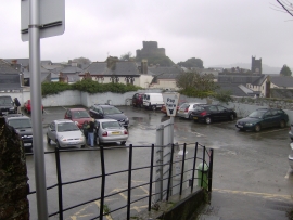
The small car park in Southgate Street Launceston
-

Launceston - The South Gate
The small car park in Southgate Street Launceston
Launceston - The South Gate
Location and coordinates are for the approximate centre of Kensey Valley Meadow within this administrative area. Geographic features and populated places may cross administrative borders.