-
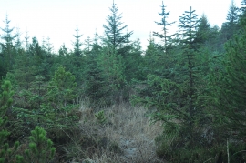
Sparse trees near Drumlamford
-
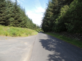
Road to Barrhill
Sparse trees near Drumlamford
Road to Barrhill
Location and coordinates are for the approximate centre of Kennels Wood within this administrative area. Geographic features and populated places may cross administrative borders.