-
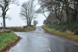
Road junction and no through road at Kellas Wood
-
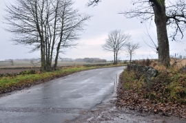
Sharp bend in the road near Kellas Wood
Road junction and no through road at Kellas Wood
Sharp bend in the road near Kellas Wood
Location and coordinates are for the approximate centre of Kellas Wood within this administrative area. Geographic features and populated places may cross administrative borders.