-
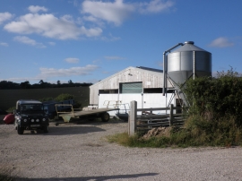
Farm equipment, Potters Farm, near South Zeal
-
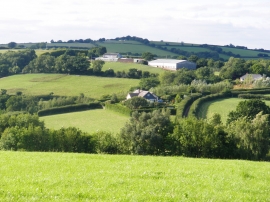
West View Farm
Farm equipment, Potters Farm, near South Zeal
West View Farm
Location and coordinates are for the approximate centre of Kelland Copse within this administrative area. Geographic features and populated places may cross administrative borders.