-
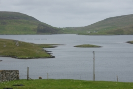
Stream Sound from West Burra
-
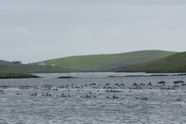
Mussel rafts beside Burra Bridge
Stream Sound from West Burra
Mussel rafts beside Burra Bridge
Location and coordinates are for the approximate centre of Kallee Ness within this administrative area. Geographic features and populated places may cross administrative borders.