-
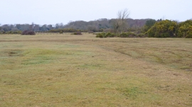
Janesmoor Plain looking North-west
-
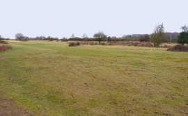
Janesmoor Plain looking West
Janesmoor Plain looking North-west
Janesmoor Plain looking West
Location and coordinates are for the approximate centre of Janesmoor Plain within this administrative area. Geographic features and populated places may cross administrative borders.