-
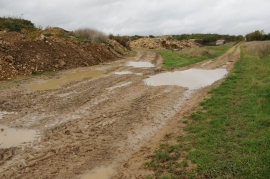
Bridleway near Great Barrington
-
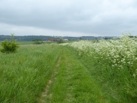
The D'Arcy Dalton Way, looking towards Barrington Farm
Bridleway near Great Barrington
The D'Arcy Dalton Way, looking towards Barrington Farm
Location and coordinates are for the approximate centre of James's Bushes within this administrative area. Geographic features and populated places may cross administrative borders.