-
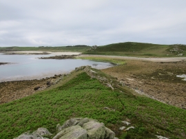
View from White Island
-
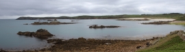
View from White Island
View from White Island
View from White Island
Location and coordinates are for the approximate centre of Jacky's Point within this administrative area. Geographic features and populated places may cross administrative borders.