-
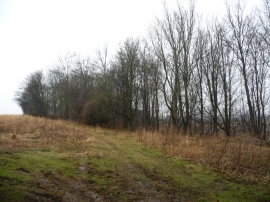
Jack O'Becks Plantation
-
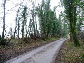
Ivy-covered trees along Binsoe Lane
Jack O'Becks Plantation
Ivy-covered trees along Binsoe Lane
Location and coordinates are for the approximate centre of Jack O' Becks Plantation within this administrative area. Geographic features and populated places may cross administrative borders.