-

The Old Post House, Belton
-
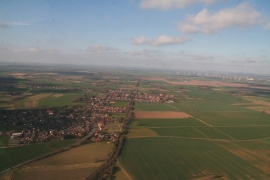
Belton, incorporating Bracon and Church Town: aerial 2015
The Old Post House, Belton
Belton, incorporating Bracon and Church Town: aerial 2015
Other current and historical names
Location and coordinates are for the approximate centre of Isle of Axholme within this administrative area. Geographic features and populated places may cross administrative borders.