-
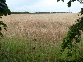
Field of barley near Lodge Farm, Colsterworth
-
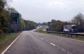
A1 southbound approaching B6403
Field of barley near Lodge Farm, Colsterworth
A1 southbound approaching B6403
Location and coordinates are for the approximate centre of Ironstone Plantation within this administrative area. Geographic features and populated places may cross administrative borders.