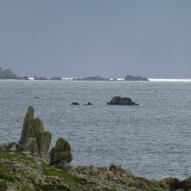
Inner Ranneys, Isles of Scilly

« Gazetteer Entry
Upload Photo

Inner Ranneys, Isles of Scilly

  • Parish/Community: St. Agnes
  • Unitary Authority: Isles of Scilly
  • Region: South West
  • Category: Geographic Feature
  • Type: Other Coastal Landform
  • Latitude/Longitude: 49°53'30"N 6°22'34"W
  • Eastings/Northings: 85807, 8264
  • OS Grid: SV858082
  • Mapcode Local: GBR BXNZ.05Z
  • Mapcode Global: VGYC3.FZH8

Location and coordinates are for the approximate centre of Inner Ranneys within this administrative area. Geographic features and populated places may cross administrative borders.

BritishPlaceNames.uk is a Good Stuff website.