-
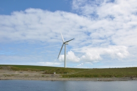
Loth Wind Turbine
-
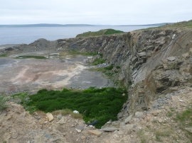
Loth quarry, Sanday, Orkney
Loth Wind Turbine
Loth quarry, Sanday, Orkney
Location and coordinates are for the approximate centre of Inner Hangie within this administrative area. Geographic features and populated places may cross administrative borders.