-
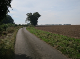
Minor road near Trimingham
-

On Paston Way - Enclosed path at Hungry Hill near Overstrand
Minor road near Trimingham
On Paston Way - Enclosed path at Hungry Hill near Overstrand
Location and coordinates are for the approximate centre of India Wood within this administrative area. Geographic features and populated places may cross administrative borders.