-
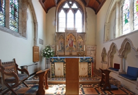
St John the Evangelist, Old Coulsdon, Surrey - Chancel
-

Old Lodge Lane
St John the Evangelist, Old Coulsdon, Surrey - Chancel
Old Lodge Lane
Location and coordinates are for the approximate centre of In Wood within this administrative area. Geographic features and populated places may cross administrative borders.