-
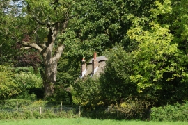
West Holme - Dwelling
-
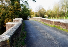
Old road bridge, Holmebridge
West Holme - Dwelling
Old road bridge, Holmebridge
Other current and historical names
Location and coordinates are for the approximate centre of Holmebridge within this administrative area. Geographic features and populated places may cross administrative borders.