-
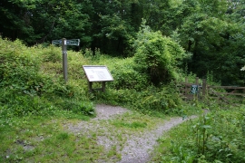
Information board on the Dart Valley Trail
-
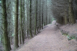
Path through Hole Copse
Information board on the Dart Valley Trail
Path through Hole Copse
Location and coordinates are for the approximate centre of Hole Copse within this administrative area. Geographic features and populated places may cross administrative borders.