-
Tingrith Road, Rads End, Eversholt
-

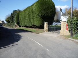
Edward VII postbox on Tingrith Road, Rads End, Eversholt
Tingrith Road, Rads End, Eversholt
Edward VII postbox on Tingrith Road, Rads End, Eversholt
Location and coordinates are for the approximate centre of Hill's Plantation within this administrative area. Geographic features and populated places may cross administrative borders.