-
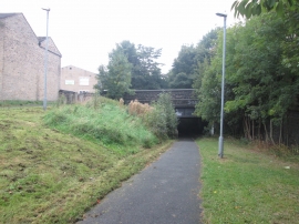
Foot/cyclepath passes under Halifax Old Road
-
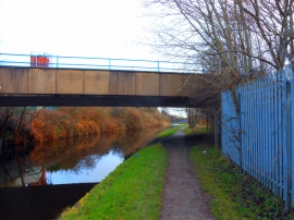
Occupation Bridge over Huddersfield Broad Canal
Foot/cyclepath passes under Halifax Old Road
Occupation Bridge over Huddersfield Broad Canal
Location and coordinates are for the approximate centre of Hillhouse within this administrative area. Geographic features and populated places may cross administrative borders.