-

Heading up the road
-
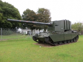
An odd Centurion
Heading up the road
An odd Centurion
Location and coordinates are for the approximate centre of Higher Wood within this administrative area. Geographic features and populated places may cross administrative borders.