-
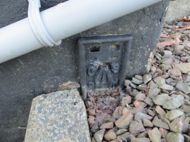
Ordnance Survey Flush Bracket G4253
-
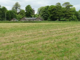
Silage field at Langdyke
Ordnance Survey Flush Bracket G4253
Silage field at Langdyke
Location and coordinates are for the approximate centre of Hetland Plantation within this administrative area. Geographic features and populated places may cross administrative borders.