-
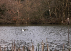
Swan in Thursley NNR
-
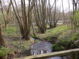
Stream near Thursley
Swan in Thursley NNR
Stream near Thursley
Location and coordinates are for the approximate centre of Hammer Pond within this administrative area. Geographic features and populated places may cross administrative borders.