-
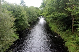
River Irvine at Mason's Holm
-
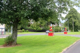
Junction on Loudoun Road, Newmilns
River Irvine at Mason's Holm
Junction on Loudoun Road, Newmilns
Location and coordinates are for the approximate centre of Hag Plantation within this administrative area. Geographic features and populated places may cross administrative borders.