-
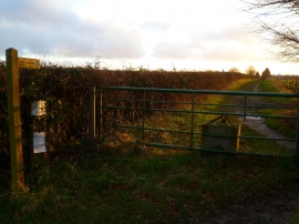
Footpath goes north east from Oldhouse Lane
-
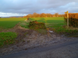
Bridleway goes west from Oldhouse Lane
Footpath goes north east from Oldhouse Lane
Bridleway goes west from Oldhouse Lane
Location and coordinates are for the approximate centre of Grub Copse within this administrative area. Geographic features and populated places may cross administrative borders.