-
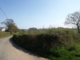
The minor road from Dunsford to Cheriton Bishop, near Haylake
-

Track to Haylake
The minor road from Dunsford to Cheriton Bishop, near Haylake
Track to Haylake
Location and coordinates are for the approximate centre of Grove Plantation within this administrative area. Geographic features and populated places may cross administrative borders.