-

East Devon : Country Road
-
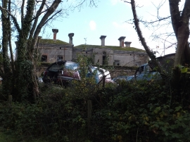
Blackborough House and its car dump
East Devon : Country Road
Blackborough House and its car dump
Location and coordinates are for the approximate centre of Grove Copse within this administrative area. Geographic features and populated places may cross administrative borders.