-
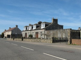
Row of Cottages, Greengairs Road
-
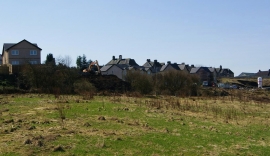
New Housing Development, Greengairs
Row of Cottages, Greengairs Road
New Housing Development, Greengairs
Location and coordinates are for the approximate centre of Greengairs within this administrative area. Geographic features and populated places may cross administrative borders.