-
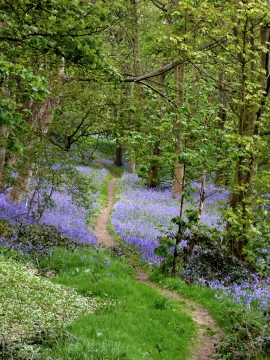
Bluebells in woodland near Greensforge in Staffordshire
-
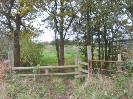
Hinksford Stile
Bluebells in woodland near Greensforge in Staffordshire
Hinksford Stile
Location and coordinates are for the approximate centre of Greenforge Rough within this administrative area. Geographic features and populated places may cross administrative borders.