-
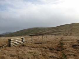
Fenceline between Mickle Corum and Greenforet Hill
-
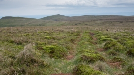
Mossy ground on the slopes of Blairdenon Hill
Fenceline between Mickle Corum and Greenforet Hill
Mossy ground on the slopes of Blairdenon Hill
Location and coordinates are for the approximate centre of Greenforet Hill within this administrative area. Geographic features and populated places may cross administrative borders.