-
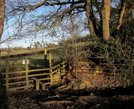
Stile by Great Marsh Copse
-
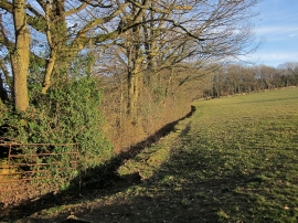
Field near West Ogwell
Stile by Great Marsh Copse
Field near West Ogwell
Location and coordinates are for the approximate centre of Great Marsh Copse within this administrative area. Geographic features and populated places may cross administrative borders.