-
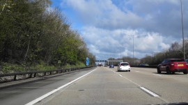
M25 cutting through Great Hurst Wood
-
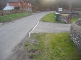
Hurst Road, Walton-on-the Hill
M25 cutting through Great Hurst Wood
Hurst Road, Walton-on-the Hill
Location and coordinates are for the approximate centre of Great Hurst Wood within this administrative area. Geographic features and populated places may cross administrative borders.