-
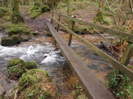
Footbridge over the Beaddon Brook
-
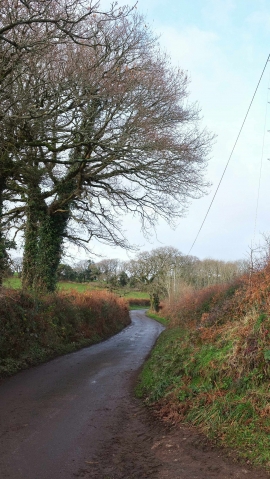
Lane to Poolmill Cross
Footbridge over the Beaddon Brook
Lane to Poolmill Cross
Location and coordinates are for the approximate centre of Great Copse within this administrative area. Geographic features and populated places may cross administrative borders.