-
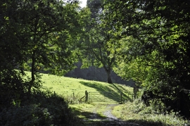
The old Ross and Monmouth Railway line
-

The old Ross and Monmouth Railway line
The old Ross and Monmouth Railway line
The old Ross and Monmouth Railway line
Location and coordinates are for the approximate centre of Great Collins Grove within this administrative area. Geographic features and populated places may cross administrative borders.