-
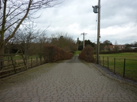
The way to Neswick Gardens, east of Bainton
-
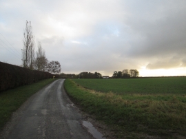
Neswick Lane toward Neswick Farm
The way to Neswick Gardens, east of Bainton
Neswick Lane toward Neswick Farm
Location and coordinates are for the approximate centre of Gravelwalk Plantn within this administrative area. Geographic features and populated places may cross administrative borders.