-
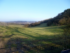
A Chiltern View near Northend
-
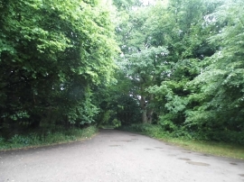
Track on Turville Heath
A Chiltern View near Northend
Track on Turville Heath
Location and coordinates are for the approximate centre of Gravelly Wood within this administrative area. Geographic features and populated places may cross administrative borders.