-

Mattishall Road, Honingham
-
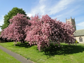
Flowering cherry trees near Honingham church
Mattishall Road, Honingham
Flowering cherry trees near Honingham church
Location and coordinates are for the approximate centre of Grange Plantation within this administrative area. Geographic features and populated places may cross administrative borders.