-

Entrance to Oldershaw Brewery
-
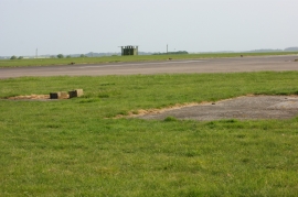
End of runway 06/24, RAF Barkston Heath
Entrance to Oldershaw Brewery
End of runway 06/24, RAF Barkston Heath
Location and coordinates are for the approximate centre of Grange Plantation within this administrative area. Geographic features and populated places may cross administrative borders.