-
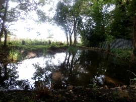
Pond near Gospel Well
-
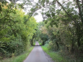
Tolfield Road
Pond near Gospel Well
Tolfield Road
Location and coordinates are for the approximate centre of Gospel Well within this administrative area. Geographic features and populated places may cross administrative borders.