-
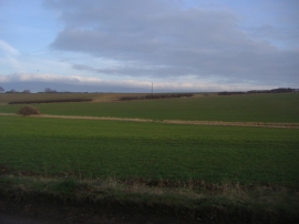
Fields by Great Munden Road
-
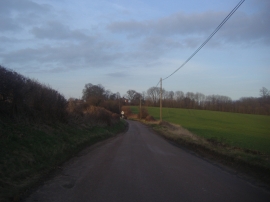
Great Munden Road
Fields by Great Munden Road
Great Munden Road
Location and coordinates are for the approximate centre of Goldsdell Common within this administrative area. Geographic features and populated places may cross administrative borders.