-
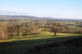
View over Blakemere
-
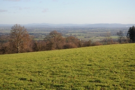
View to the east from above Blakemere
View over Blakemere
View to the east from above Blakemere
Location and coordinates are for the approximate centre of Godway Wood within this administrative area. Geographic features and populated places may cross administrative borders.