-
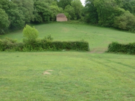
Mystery building on the edge of Goanah Rough
-
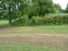
Stile entry to Goanah Rough
Mystery building on the edge of Goanah Rough
Stile entry to Goanah Rough
Location and coordinates are for the approximate centre of Goanah Rough within this administrative area. Geographic features and populated places may cross administrative borders.