-
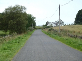
Roadside Cottage on the Penpont Road
-
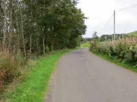
Road to Penpont at Lambgang Plantation
Roadside Cottage on the Penpont Road
Road to Penpont at Lambgang Plantation
Location and coordinates are for the approximate centre of Glengar Loch Plantation within this administrative area. Geographic features and populated places may cross administrative borders.