-
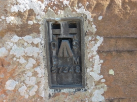
Ordnance Survey Flush Bracket S7348
-
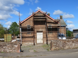
Former School Building at Glencaple
Ordnance Survey Flush Bracket S7348
Former School Building at Glencaple
Location and coordinates are for the approximate centre of Glencaple within this administrative area. Geographic features and populated places may cross administrative borders.