-
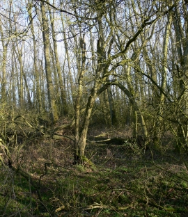
Inside Glen Gorse
-
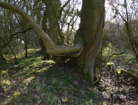
Tree on the western edge of Glen Gorse
Inside Glen Gorse
Tree on the western edge of Glen Gorse
Location and coordinates are for the approximate centre of Glen Gorse within this administrative area. Geographic features and populated places may cross administrative borders.