-

Wood above Glanderston
-
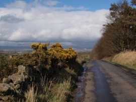
Springhill Road near Kirkton Road
Wood above Glanderston
Springhill Road near Kirkton Road
Location and coordinates are for the approximate centre of Glanderston Dam within this administrative area. Geographic features and populated places may cross administrative borders.