-
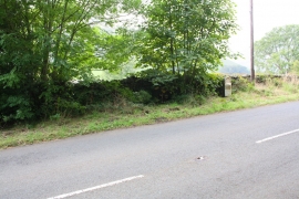
Milestone (Sedbergh 4, Kirkby Stephen 10) beside A683
-

Benchmark on milestone beside A683 at Wardses
Milestone (Sedbergh 4, Kirkby Stephen 10) beside A683
Benchmark on milestone beside A683 at Wardses
Location and coordinates are for the approximate centre of Gill Wood within this administrative area. Geographic features and populated places may cross administrative borders.