-
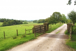
Cattle grid and gateposts on a farm track
-
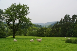
Hodder valley view
Cattle grid and gateposts on a farm track
Hodder valley view
Location and coordinates are for the approximate centre of Giddy Bridge Plantation within this administrative area. Geographic features and populated places may cross administrative borders.